Professional land surveying solutions tailored to your project needs. We deliver accuracy, reliability, and excellence.
Comprehensive surveying solutions for every project
Accurate boundary and property surveying with modern equipment and certified professionals.
Advanced 3D modeling and point cloud technology for detailed site visualization.
Precise staking services for construction projects ensuring accurate placement.
Complete topographical documentation capturing accurate land features, elevations, and site conditions.
Specialized highway and infrastructure surveying for major projects.
Comprehensive lot boundary determination with legal documentation.
Industry-leading expertise and commitment to excellence
Our team is made up of qualified surveyors with strong industry experience and continuous training.
We utilize state-of-the-art GPS, laser scanning, and drone technology for precision.
We respect your project timeline and deliver results on schedule without compromising quality.
All surveys meet local and international standards with complete legal documentation.
Dedicated support team available to address your questions and concerns promptly.
Competitive pricing without sacrificing quality, with transparent quotes and no hidden fees.
Meet the professionals behind our success
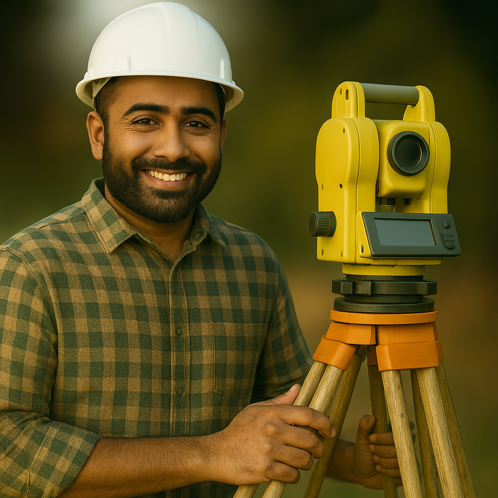
15+ years of experience in advanced land surveying & complex project coordination.
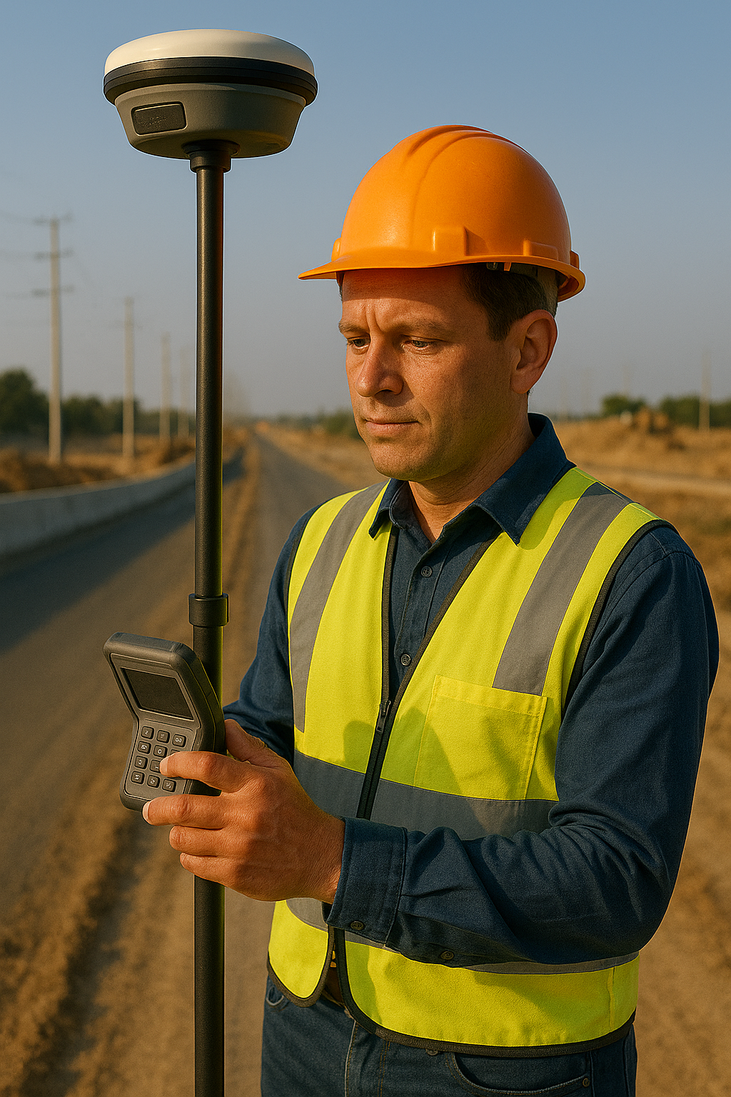
Specialist in GNSS, GIS mapping, drone-data processing, and 3D visualization.
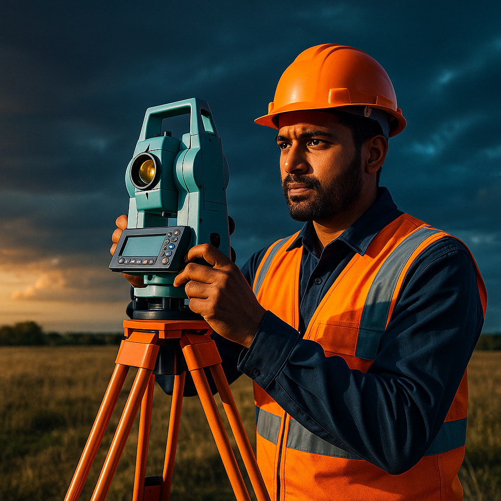
Ensures smooth execution, team coordination, and exceptional client satisfaction.
What our clients say about our services
"Surya Surveying provided exceptional service for our property boundary survey. Professional, accurate, and timely!"
"Their 3D mapping technology helped us visualize the land layout perfectly. Highly recommended for accurate results."
"Best surveying company we've worked with. Reliable results and excellent customer service."
Have questions? We'd love to hear from you. Send us a message today.
+917906048686
Based in Uttar Pradesh
Serving: All Over India